

SQLite Cloud combines the performance, efficiency, and reliability of SQLite with a distributed architecture and real-time event synchronization. Check out what we’re building with a free account here.
At SQLite Cloud, we’re big on using SQLite extensions to enhance database capabilities. Today, we’re looking at SQLite’s rtree module, which comes pre-installed with every SQLite Cloud database.
What is Rtree?
The Rtree extension is a module designed to efficiently manage spatial data within SQLite. It facilitates the storage, retrieval, and querying of spatial information. It’s indispensable for applications that involve spatial data processing such as geographic information systems (GIS), location-based services, and spatial analytics.
How Rtrees Work
Spatial Indexing
Rtree introduces a mechanism to store spatial data (like coordinates, areas, and boundaries) efficiently using a tree-like data structure that enables fast querying of spatial relationships. This structure optimally indexes geometric shapes and is vital for rapid execution of spatial queries.
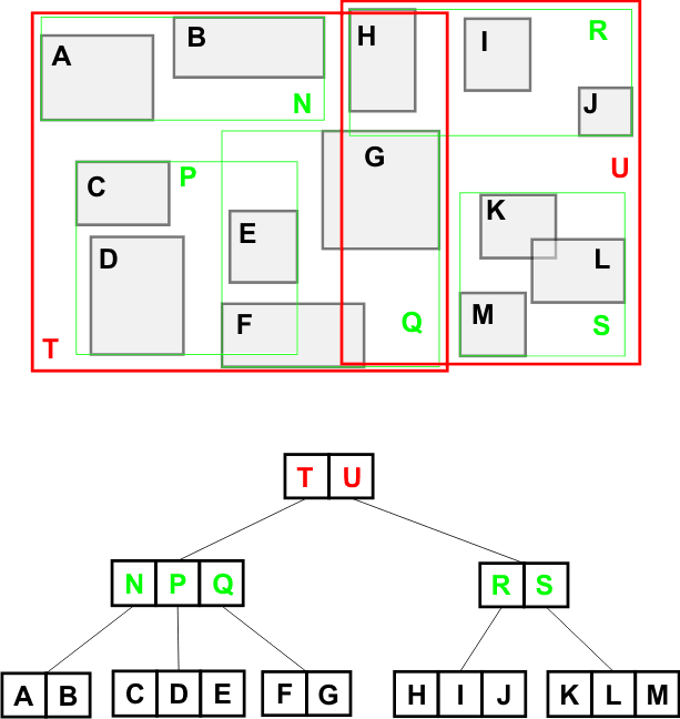
An R-tree is a height-balanced tree, similar in concept to a B-tree. Each node in an R-tree corresponds to a bounding box, encompassing all child nodes. This bounding box is the minimal bounding rectangle (MBR) that contains all the points or rectangles nested within it.
Credit:https://cglab.ca/~cdillaba/comp5409_project/R_Trees.html
The tree is "balanced" because all leaf nodes are at the same level, which ensures that all spatial queries traverse down the tree from root to leaf uniformly, maintaining efficient query performance.
Nodes and Entries
Each node in the R-tree can hold a variable number of entries, which are typically subdivided based on a maximum and minimum count. These entries either point to other nodes (internal node entries) or to the actual spatial objects (leaf node entries).
The criteria for organizing entries within nodes involve minimizing the overlap between entries and covering as little area as possible, which helps reduce the search space for queries.
Key Features of the R-tree
Minimal Bounding Rectangles (MBRs)
As noted, each node in an R-tree represents a bounding rectangle that minimally encloses its children. This rectangle is crucial for query operations as it allows the tree to discard large portions of space quickly, narrowing down potential search areas more efficiently than linear scanning.
Splitting Algorithms
When a node exceeds the maximum number of entries due to insertion, it must be split. How a node is split can significantly impact the tree's efficiency. The most common strategies include the quadratic split and the linear split, each offering a trade-off between computational complexity and the quality of the split.
The quadratic split involves selecting two entries that are the farthest apart as the first elements of the new nodes, aiming to maximize the distance between grouped entries, thus reducing rectangle overlap.
The linear split is a simpler, less costly approach where entries are sorted along one dimension and split into two groups. This method is faster but might not reduce overlap as effectively as the quadratic method.
Integration with SQLite
Similar to other advanced extensions, Rtree uses SQLite's virtual table module to integrate. This allows the Rtree structures to be used as regular tables in SQL queries, blending spatial data handling with traditional data types. Spatial queries using Rtree indexes are highly optimized for performance, making them much faster than equivalent operations performed using standard SQL queries on non-indexed data.
Example usage of Rtree and SQLite
Users can create Rtree-indexed tables directly in SQLite, specifying the spatial characteristics they want to index, such as dimensions and bounding boxes.
Let’s assume we want to create an Rtree-indexed table to store information about various parks in a city. Each park can be represented by a rectangular area within the city, defined by the minimum and maximum coordinates of the rectangle.
The Rtree-indexed table will be used to quickly find parks within specific areas of the city and demonstrate querying of overlapping regions.
CREATE VIRTUAL TABLE parks_index USING rtree(
   id,              -- Unique integer ID for each entry
   minX, maxX,      -- Minimum and Maximum X coordinates
   minY, maxY       -- Minimum and Maximum Y coordinates
);
In this SQL statement:
parks_index is the name of the Rtree-indexed table.
id is a column to store a unique identifier for each park (or spatial entry).
minX and maxX are the columns that define the minimum and maximum x-coordinates of the bounding box for each park.
minY and maxY are the columns that define the minimum and maximum y-coordinates of the bounding box for each park.
Inserting Data into the Rtree-Indexed Table
After creating the table, you can insert data into it representing various parks. Here’s how you might insert data for three parks:
INSERT INTO parks_index VALUES (1, 10, 50, 10, 50);
INSERT INTO parks_index VALUES (2, 20, 60, 20, 60);
INSERT INTO parks_index VALUES (3, 15, 55, 5, 45);
Querying the Rtree-Indexed Table
To find parks that intersect with a specific area, you can use a query like the following. This query looks for parks that overlap with a rectangle defined from coordinates (x: 15 to 45, y: 15 to 55).
SELECT id FROM parks_index
WHERE minX <= 45 AND maxX >= 15 AND minY <= 55 AND maxY >= 15;
This query will efficiently find all parks whose bounding boxes intersect with the specified query rectangle, using the spatial indexing capabilities of the Rtree structure.
Installation
Rtree comes pre-installed with SQLite Cloud, no setup required.
Conclusion
The Rtree extension brings efficient geospatial queries to SQLite. Dive deeper into SQLite extensions and discover how they can transform your data management strategies by checking out our documentation, or try out SQLite Cloud for free.
Until next time!